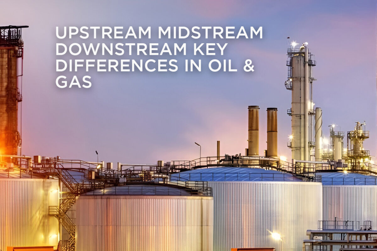
The oil and gas industry operates through three core sectors: Upstream Midstream Downstream Key Differences in Oil & Gas between these sectors is essential for industry professionals, investors, and stakeholders. Each stage plays a crucial role in transforming raw resources into refined products for end-users. Let’s break down how each sector functions and its significance in the energy supply chain.
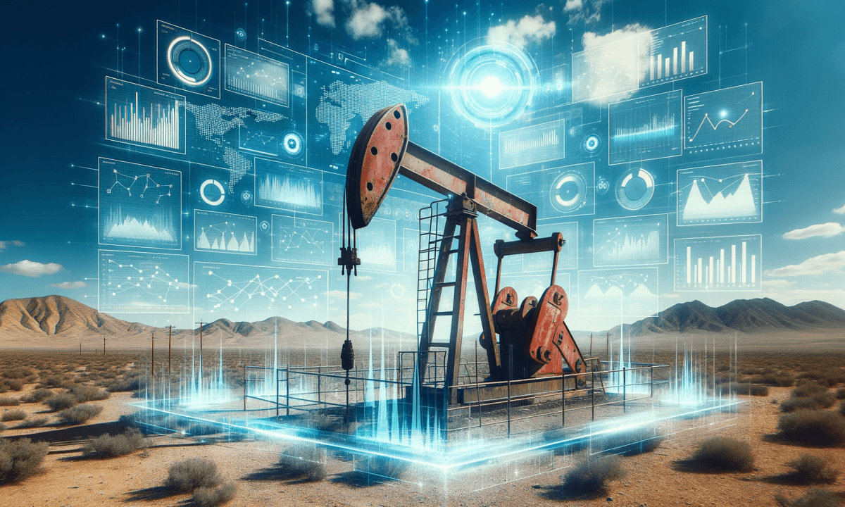
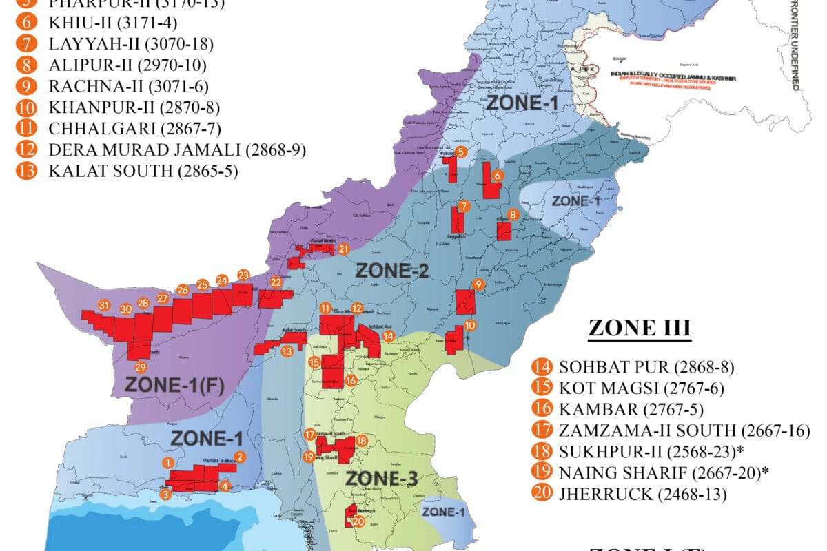
Upstream: Exploration and Production
The upstream sector focuses on discovering and extracting crude oil and natural gas from underground reservoirs. It includes both onshore and offshore operations.
- Key Activities: Exploration, drilling, well completion, and production.
- Assets: Oil fields, drilling rigs, and production platforms.
- Challenges: Geological uncertainties, drilling risks, and price volatility.
Midstream: Transportation and Storage
Once the oil and gas are extracted, the midstream sector takes over. This stage involves transporting, storing, and marketing crude oil and natural gas.
- Key Activities: Pipeline transportation, storage, and wholesale distribution.
- Assets: Pipelines, storage tanks, and terminals.
- Challenges: Safe transportation, logistics management, and regulatory compliance.
Downstream: Refining and Distribution
The downstream sector handles refining crude oil into usable products like gasoline, diesel, and petrochemicals. It also includes product distribution and retail.
- Key Activities: Refining, manufacturing, and consumer distribution.
- Assets: Refineries, petrochemical plants, and retail networks.
- Challenges: Supply chain management, regulatory adherence, and market demand shifts.
Key Takeaways
- Focus: Upstream (exploration), Midstream (transportation), Downstream (refining).
- Products: Crude oil and gas (upstream), transported resources (midstream), refined products (downstream).
- Challenges: Upstream faces geological risks, midstream manages logistics, and downstream handles market demand.
Conclusion
Understanding the distinctions between upstream, midstream, and downstream highlights the complexity of the oil and gas industry. Each sector plays a vital role in transforming raw resources into essential products, ensuring a seamless journey from exploration to end-user delivery.
Upstream Midstream Downstream Key Differences in Oil & Gas